



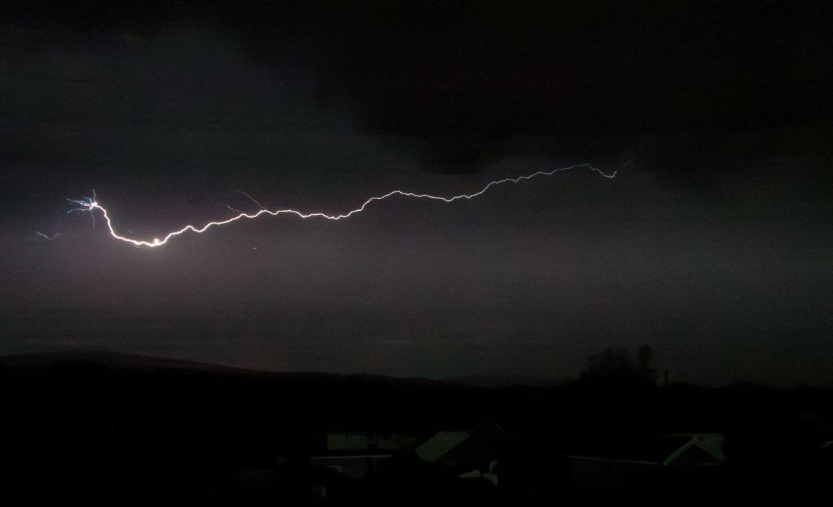

THUNDERSTORMS could hit areas of Carmarthenshire as the red weather warning for extreme heat comes to an end tonight.
The Met Office has warned that a shift in weather patterns will bring showers, thunderstorms, and cooler conditions across Wales from Thursday evening.
A yellow weather warning is in place for thunderstorms in south-west England from 6pm to midnight tonight, and these are forecast to stretch across to southern parts of Wales.

The Met Office said: "Staying very warm and humid overnight.
"Dry for most but elevated thunderstorms moving into the south. Could turn gusty for some with the odd rumble of thunder. Minimum temperature 17°C."
They added: "High pressure will gradually move away to the east of the country later this week as low pressure approaches from the south.
"This will bring somewhat cooler conditions from the west, but also increase the chance of showers and thunderstorms."
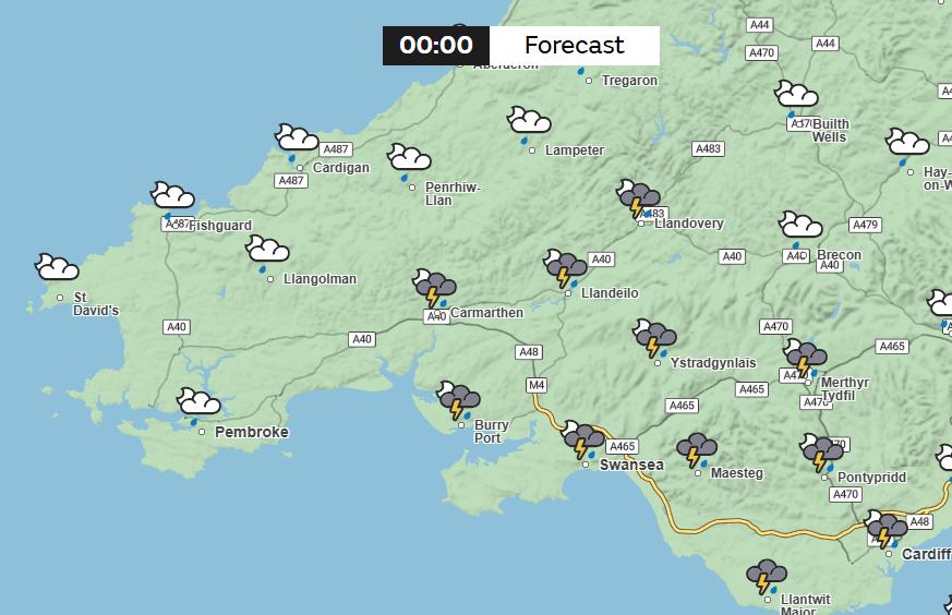
Ammanford and Ystradgynlais are forecast to have two hours of thundery showers from 11pm tonight, with temperatures at 24°C, whilst Brynamman will also have thundery weather for the same period, but with highs of 23°C.
Llandovery is expected to have thundery showers for around an hour from midnight, with temperatures at 24°C.
High pressure will gradually move away to the east of the country later this week as low pressure approaches from the south
This will bring somewhat cooler conditions from the west, but also increase the chance of showers and thunderstorms 🌦️⛈️ pic.twitter.com/aaovF8CFT5— Met Office (@metoffice) June 24, 2026
The thunderstorms come as the two-day red weather warning for extreme heat comes to an end at midnight.
The red warning for an "exceptional spell" of heat and humidity covers areas including Brynamman, Pontardawe, Pontarddulais, and Ystradgynlais.
Areas west of and including Ammanford and north of the Black Mountain are included in the amber warning for extreme heat which also comes to an end at the same time.


Share